TOPOGRAPHIC SURVEYS
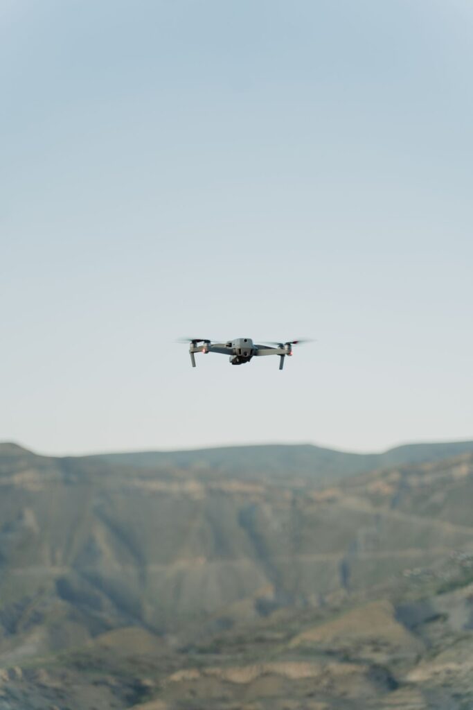
Drone LiDAR and RTK surveys delivering contours, terrain models and CAD-ready topo drawings for design and earthworks.
Zenmuse L1 sensor
D-RTK 3 positioning
CAD-ready drawings
based in Riyadh
WHAT YOU GET

Contours at the interval your design stage needs.
Digital terrain models for grading, drainage and road design.
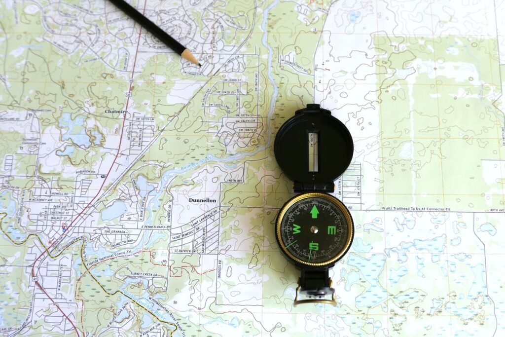
CAD-ready DWG drawings with levels, features and boundaries.
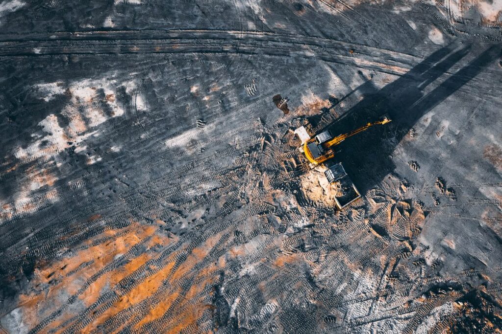
Earthwork quantities for tenders, claims and progress payments.
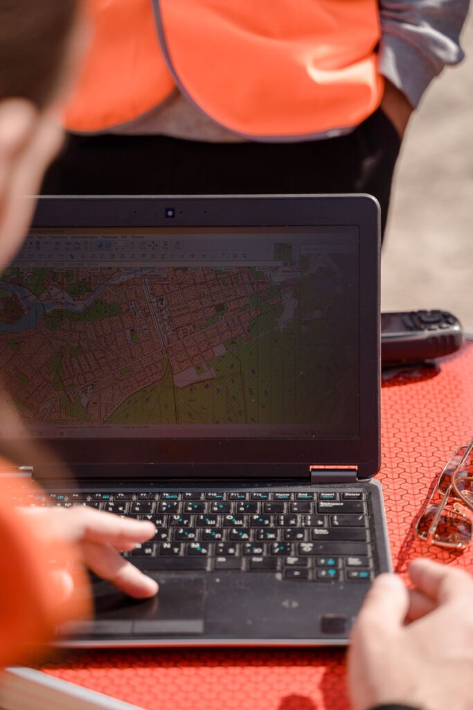
Spot levels, long sections and cross-sections.
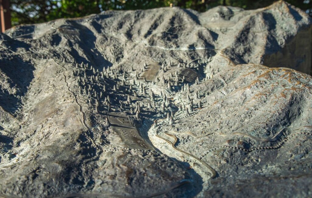
Classified point clouds with ground and non-ground points.
HOW IT WORKS
Ground control points set with RTK GNSS.
Drone LiDAR and imagery flown over the site.
Ground classification, terrain model and contours.
DWG, PDF, LandXML and point cloud files.
WHERE IT IS USED
Drone LiDAR covers large or hard-to-reach areas much faster. For small plots or detailed features we combine it with RTK ground survey, and recommend the best mix in our proposal.
We match the interval to your design stage and confirm it in our proposal.
CAD-ready DWG topographic drawings, contours, a terrain model, cross-sections and point cloud files, in your project coordinate system.
From a single plot to long road corridors and large development sites.
Yes. We survey projects across Saudi Arabia.
Send us the site location and boundary. We reply with a survey plan and a price.

Masar Albinna Alfani Consulting and Contracting Company is a dynamic and innovative firm dedicated to providing comprehensive architectural, structural design, drone survey, and construction contracting services.
8257 Abi Barzah Al Aslami, Riyadh 11260, Saudi Arabia
Copyright © 2026 Masar Albinna Alfani. Powered By xtremessoft