
DRONE PHOTOGRAMMETRY
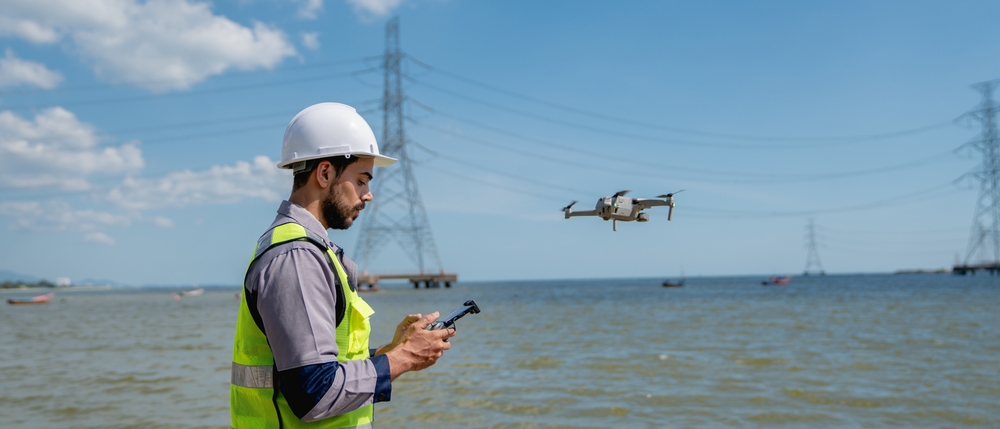
Orthomosaics, 3D models and point clouds, captured with our DJI Matrice 350 RTK and 45 MP Zenmuse P1.
full-frame Zenmuse P1 camera
D-RTK 3 base station positioning
meshes and point clouds
based in Riyadh
WHAT YOU GET
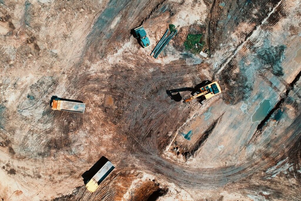
Seamless, georeferenced aerial maps of your site, ready for GIS and CAD.

Textured 3D meshes of buildings, sites and heritage structures.
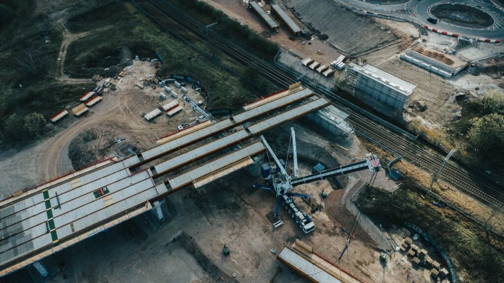
Dense, colorized point clouds for design, BIM and as-built checks.
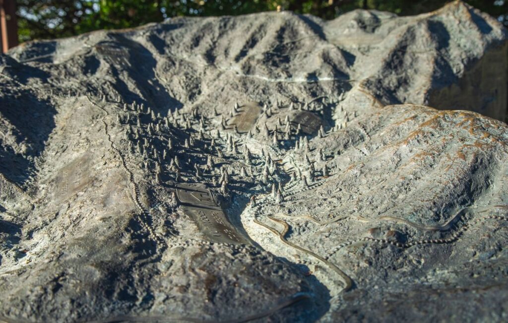
DSM and DTM outputs for grading, drainage and design.
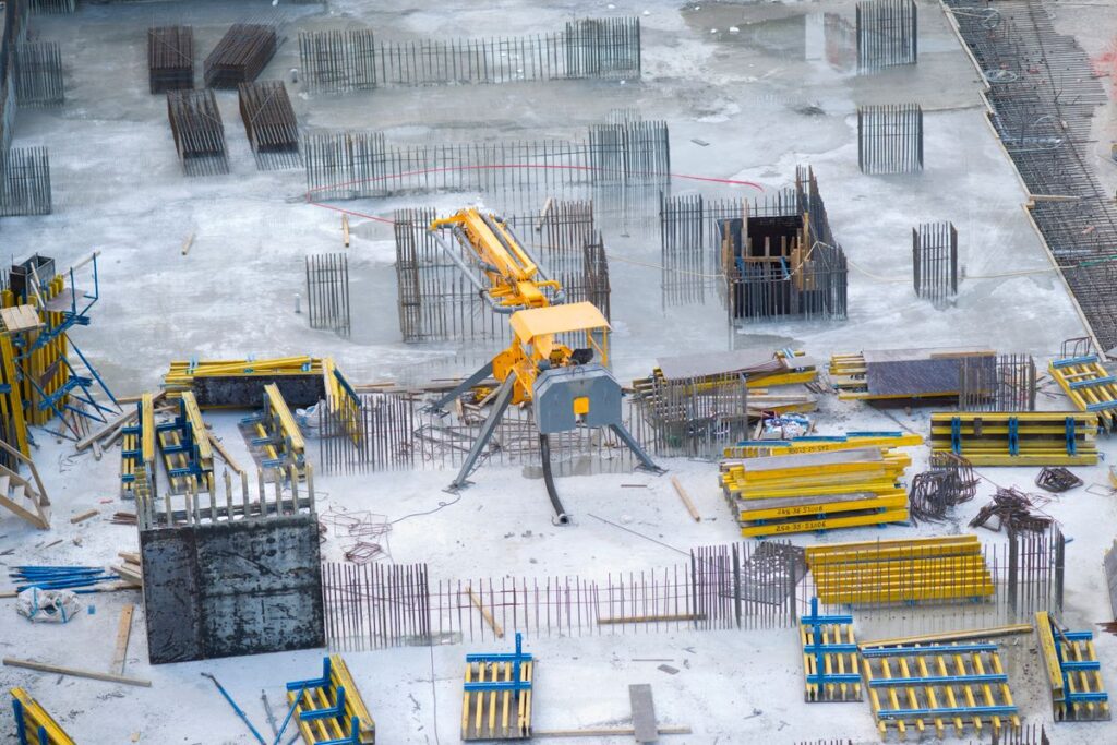
Repeat flights that show exactly how far your site has moved.
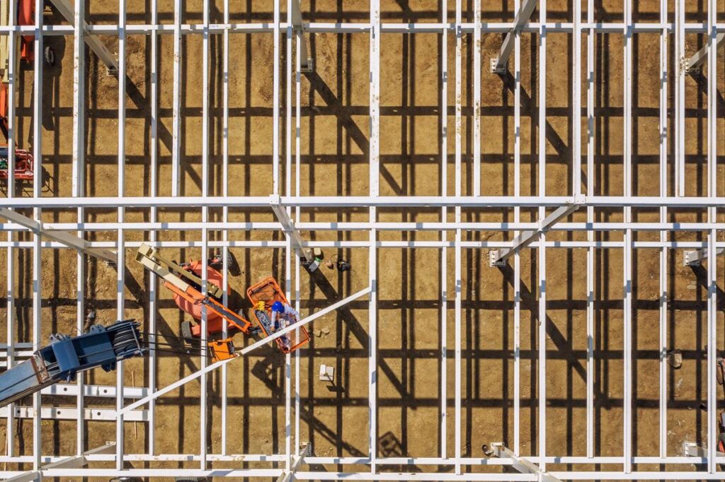
Stockpile and earthwork volumes measured from the air.
HOW IT WORKS
Flight plan, ground control and site permissions.
RTK-corrected capture with the Matrice 350 and P1.
Photogrammetry processing and quality checks.
GeoTIFF, LAS, OBJ, DWG or your preferred format.
SELECTED DRONE PROJECTS
It is the process of capturing overlapping aerial photos with a drone and processing them into measured maps, 3D models and point clouds.
Photogrammetry gives rich, photo-textured outputs and works well on open sites. LiDAR is better where you need ground levels under vegetation or fine detail on complex structures. We often combine both. See our topographic surveys.
Accuracy depends on flight height, ground control and site conditions. We confirm the expected accuracy in our proposal before we fly.
Orthomosaics (GeoTIFF), point clouds (LAS/LAZ), 3D meshes (OBJ), surface models and CAD-ready drawings, in the coordinate system you need.
Yes. We fly projects across Saudi Arabia.
Send us the location and size. We reply with a flight plan and a price.

Masar Albinna Alfani Consulting and Contracting Company is a dynamic and innovative firm dedicated to providing comprehensive architectural, structural design, drone survey, and construction contracting services.
8257 Abi Barzah Al Aslami, Riyadh 11260, Saudi Arabia
Copyright © 2026 Masar Albinna Alfani. Powered By xtremessoft