BIM SERVICES IN SAUDI ARABIA
Revit models, Scan-to-BIM and as-built BIM, built by engineers.
model development
Red Sea Global, Amaala, Shura Island
drone capture, in-house
serving all of Saudi Arabia
WHAT WE MODEL
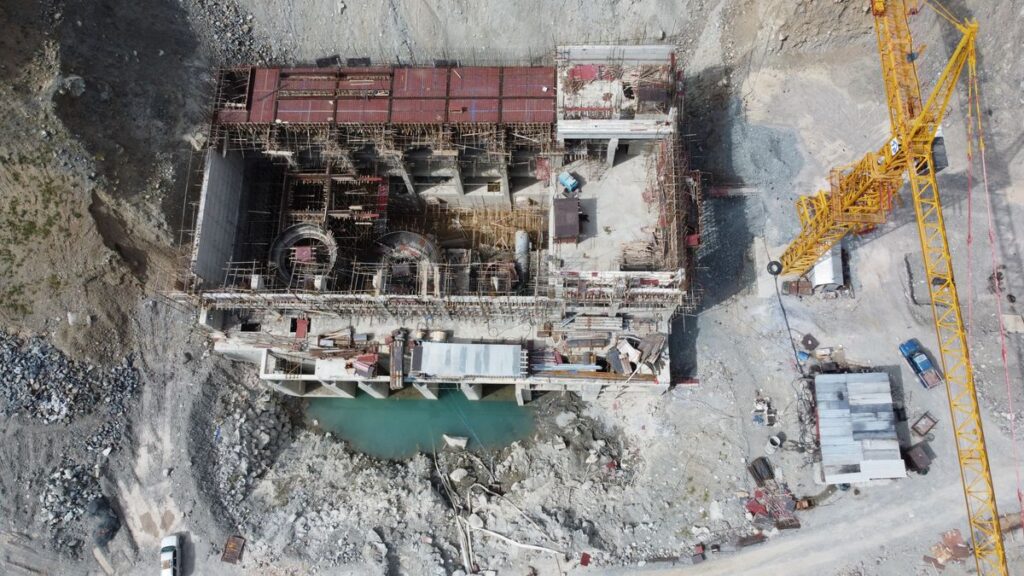
Point clouds from our drone LiDAR or your scans, turned into measured Revit models.
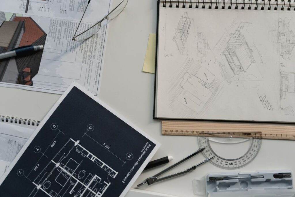
Approved PDF and DWG drawings converted into clean, structured Revit models.
Design models developed to the level of detail your contract requires.
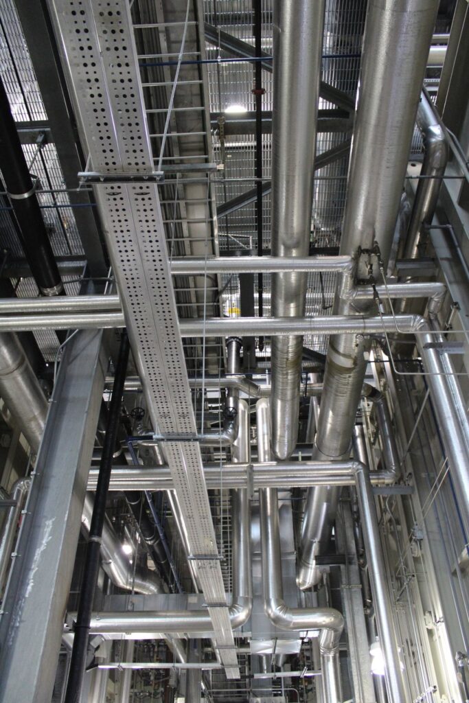
Structure and MEP coordinated in the model, before problems reach site.
Plans, sections, details and schedules produced straight from the model.
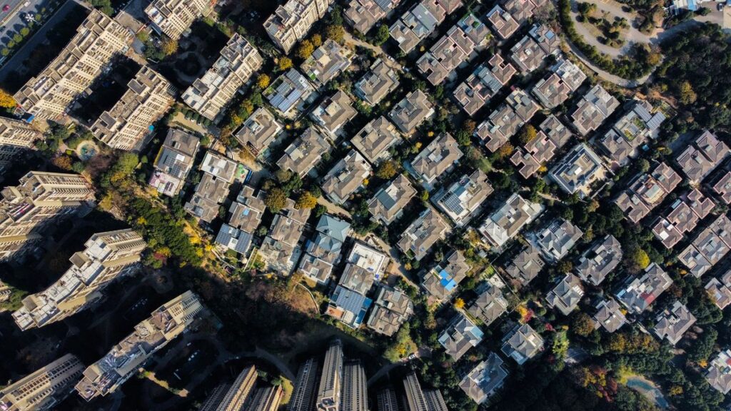
BIM linked with ArcGIS so owners manage assets on a live map.
HOW IT WORKS
Drone LiDAR, photos or your drawings.
Revit model built and checked by engineers.
Clashes found and fixed in the model.
Revit, IFC, drawings and schedules.
SELECTED BIM PROJECTS
Send them over. We reply with scope, timeline and a price.
Scan-to-BIM means capturing an existing site or building with laser scanning or photogrammetry, then modeling it in Revit. The result is an accurate model of what is actually built.
Yes. We model from approved as-built drawings and can combine them with survey data where drawings are incomplete.
From LOD 300 to LOD 500, matched to your contract and BIM execution plan.
Revit models, IFC exports, drawing sets, quantity schedules and registered point clouds.
Yes. We deliver BIM and survey work across Saudi Arabia.
Related: Structural and Architectural Services and Drone-Based Mapping.